
GARRISON — It is certainly not what it used to be. Not even close.
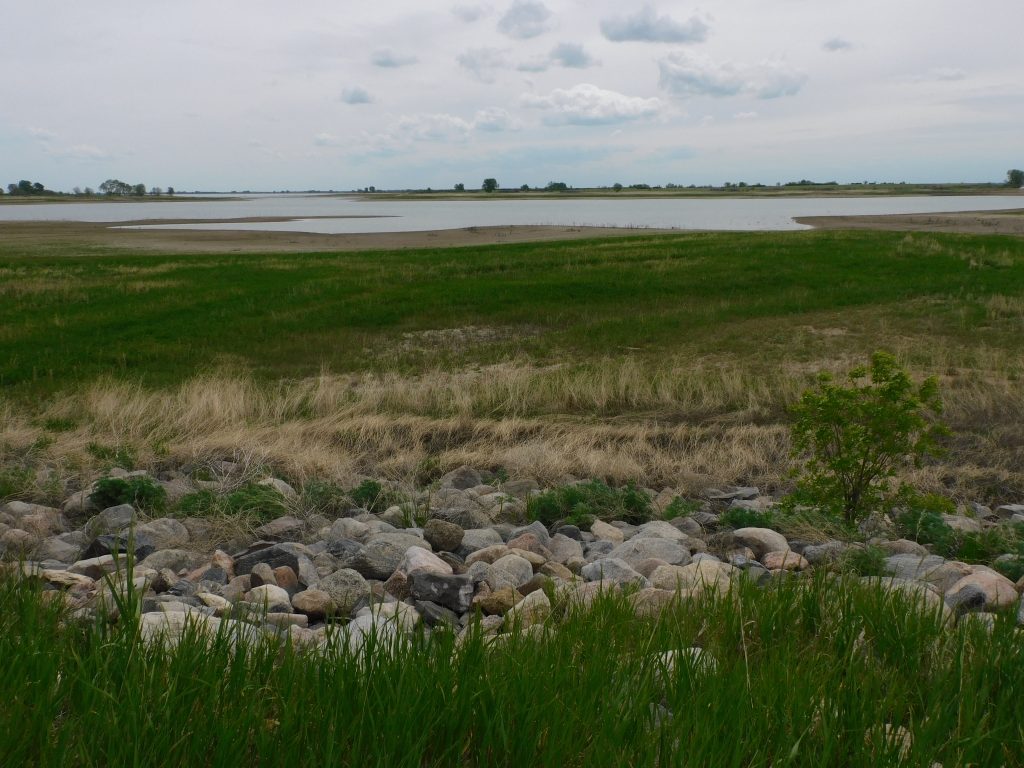
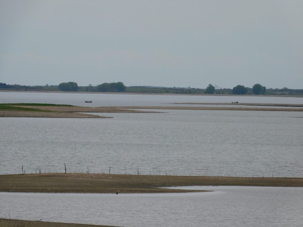
Thousands of acres of shoreline have emerged all along Lake Sakakawea this year as the state’s largest reservoir has seen water levels drop considerably below preferred operating levels. However, the June runoff forecast into the Missouri River basin that feeds Lake Sakakawea has improved from a month earlier – slightly.
According to the U.S. Army Corps of Engineers, June runoff in the massive basin is now forecast to reach 18.3 million acre feet of water. The May forecast was for 17.8 maf. Although an increase, the expected runoff is still far below the long-term average of 25.7 maf.
Low water has exposed vast expanses of shoreline and left many boat ramps either out of the water or in too shallow water to be used by boaters. An example of the effect of low water can be found at Fort Stevenson State Park where the mooring slips at DeTrobriand Marina remain empty. The marina bay is too shallow to accommodate large boats, even many smaller fishing boats.
Fortunately, the park’s main marina on Garrison Bay is deep enough to allow all types of watercraft, from large sailboats to fishing boats, to launch easily. The marina was built specifically to provide ease of navigation in times of low water and this summer is one of those times.

On Monday Lake Sakakawea stood at 1,829.8 feet. Normal water levels for the reservoir is vague at best, generally referring to 1,835 to 1,850 feet. Yearly fluctuations of 15 feet or more are not uncommon. In 2007 Sakakawea dropped to 1,807 feet. In 2011 it topped overflow at 1,854 feet.
June runoff projections now have Lake Sakakawea peaking slightly over 1,833 feet at the end of July, two feet higher than predicted one month ago. While not a significant gain, it is much better than falling reservoir and the myriad of access problems lower water would create.