
Enjoy it while you can. That is the underlying message in the latest long-range weather outlook issued by the Climate Prediction Center.
This winter is destined to go into the record book as one of the warmest ever for North Dakota, thanks to a strong El Nino. El Nino is a warming of sea surface temperatures along the equator in the Pacific Ocean that influences weather patterns.
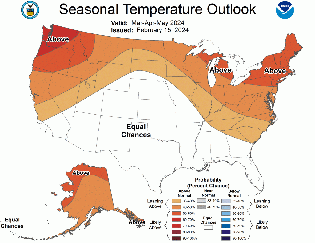
The current warming influence of El Nino is forecast to continue March-May, bringing an elevated chance of warmer weather across much of the United States, including North Dakota.
However, all indicators are that the warming pattern brought by El Nino will be followed by La Nina, generally meaning colder than normal weather for North Dakota. La Niña conditions are forecast to likely develop later in summer or by autumn.
For the March-April-May period though, above-normal temperatures are expected to continue in our region. Precipitation probabilities in
that three-month stretch are expected to fall within long-term norms.