
RIVERDALE — Down again. A lot. That's the latest runoff outlook for the Missouri River Basin and Lake Sakakawea.
“It doesn’t look very good, but I don’t think it surprised anyone,” said Scott Gangle, North Dakota Game and Fish Department fisheries section leader.
Gangle was responding to the U.S. Army Corps of Engineers April runoff projections into the Missouri River Basin. On March 1 the Corps estimated total runoff to be 20.4-million-acre feet of water. However, after a mere 15% of normal runoff in March, the April projection calls for just 17.8 maf. What’s more, the previous projected high for Lake Sakakawea this summer, 1,832.3 feet, has been revised downward to 1,829.6 feet.

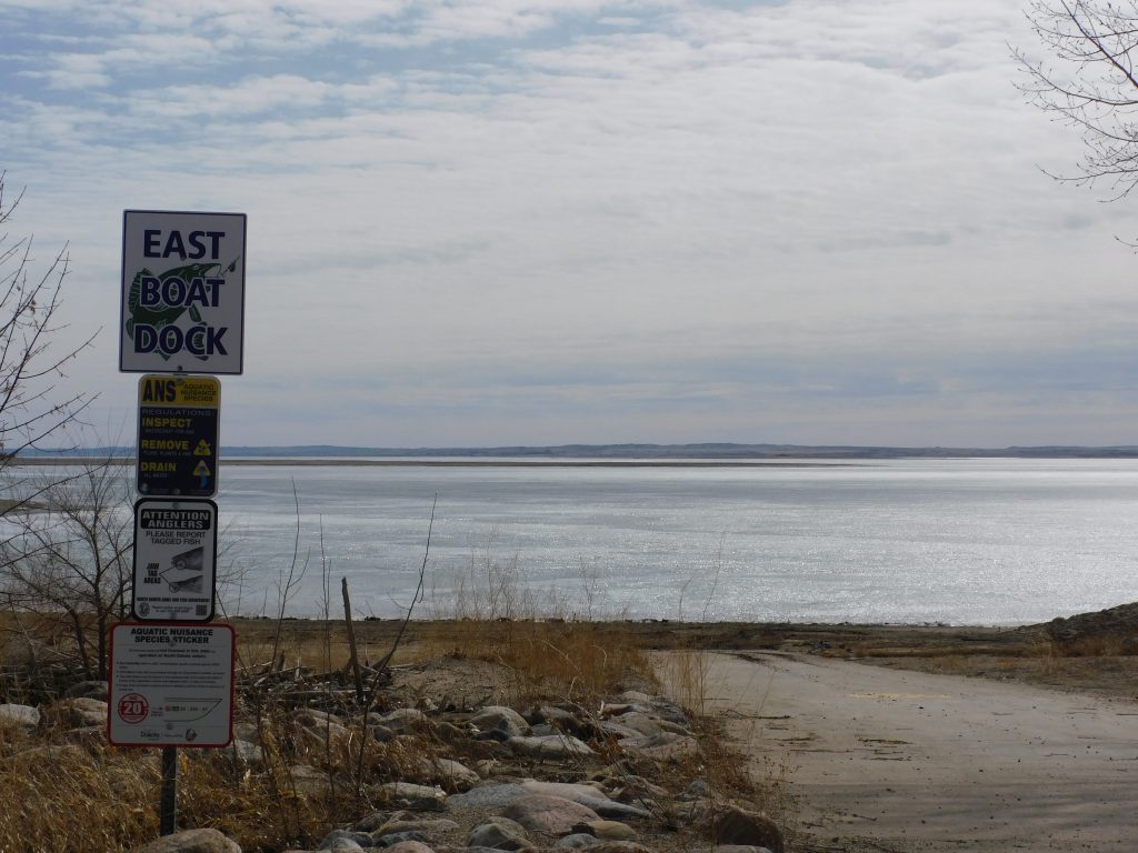
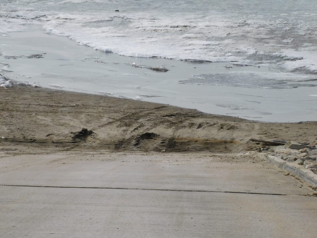
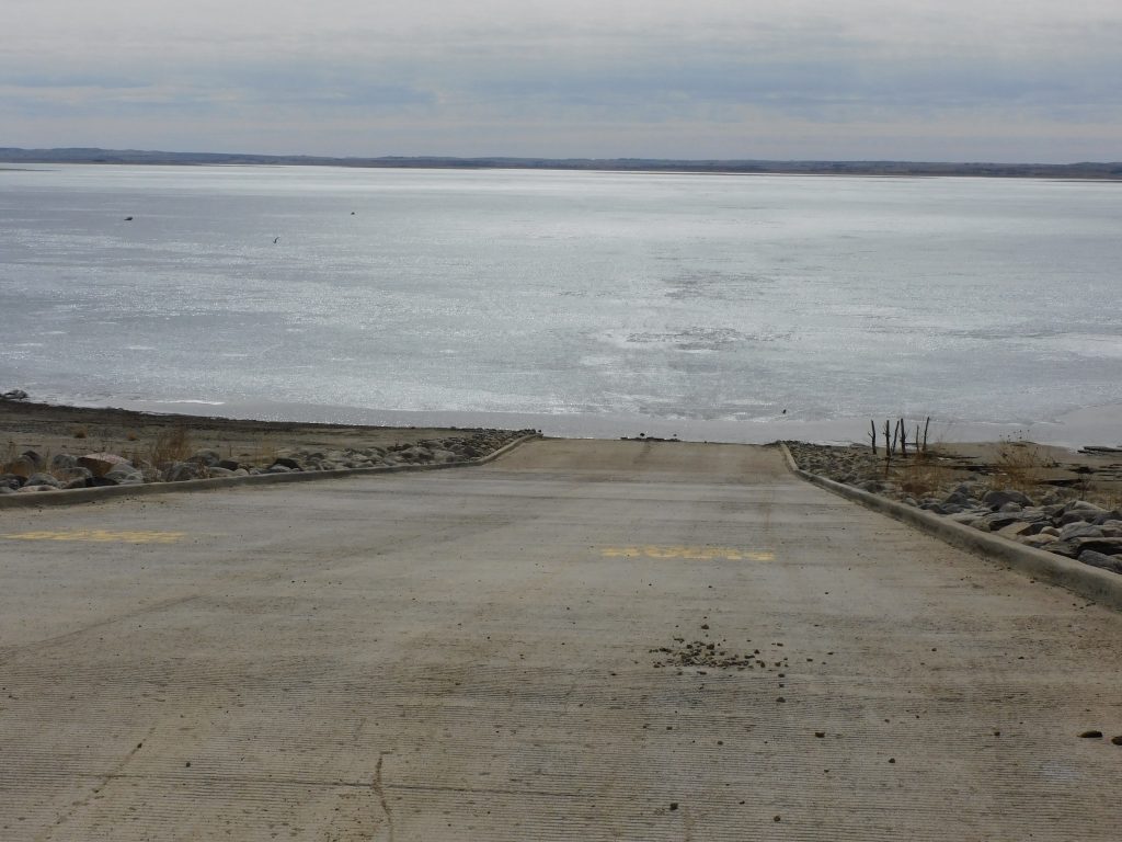
Lake Sakakawea stood at 1,827.8 feet Monday. A projected rise of less than two feet by the end of July, if realized, will still place the use of several boat ramps on the sprawling reservoir in jeopardy. At several locations on the lake preparations are already underway to dredge away silt at the bottom of boat ramps or begin the process of accessing low water ramps that have been beneath the water level of Lake Sakakawea for several years.
Current snowpack above the drainage has been tracking very close to the 30-year low and, reports the Corps, “most of the plains snow water equivalent has melted off” with only a trace to perhaps one inch of snow water equivalent remaining in part of Montana that drains into the basin.
A March 31 evaluation put runoff approximately 75% of normal. March runoff, expected to be 79% of normal on March 1, amounted to just 15% of normal by month’s end. Further runoff projections have been revised downward. For example, May runoff previously tabbed at 69% is now considered to be 56% of normal. The overall runoff forecast for the years has dropped from 71% or normal to 59%.

Most years Lake Sakakawea experiences a summer rise of several feet, perhaps 10-20 feet. This year though is setting up much differently. Attention turned several months ago to dealing with the potential of low water that is now becoming reality.
“It’s been on our radar all winter,” said Bob Frohlich, NDGF. “We are working with the Corps and other entities. There’s 32 boat ramps on the list that are going to need some form of work. Van Hook is actually one of the more dire needs. They are really at a critical depth.”
The critical depth referred to by Frolich is that existing boat ramps may or may not be useable with dredging and the placement of metal extensions at the end of a ramp or ramps. The top elevation of low water ramps located south of the permanent ramps is just beginning to emerge from beneath the water, making it a sort of in between situation.
Some will remember, said Frolich, about the extreme low water ramps we had on Gull Island. Gull Island became attached to the main shoreline during the low water years in the early 2000s, at a time when existing boat ramps were far out of the water.
“We actually poured concrete ramps out on Gull Island,” recalled Frolich. “Then the lake came back up.” Meetings concerning the Corps’ annual operating plan are scheduled for various locations next week. Bismarck is set to host a meeting on Monday, April 11 at 6 p.m. in the Bavendick Stateroom at Bismarck State College.