MINOT – The snowpack in the Minot area has diminished considerably in the past few days and, with temperatures more June-like than April, the remaining snow should melt quickly.
“What we’ll have for temperatures today, and going forward, is putting a blowtorch on the snowpack,” said Allen Schlag, National Weather Service hydrologist in Bismarck.
The combination of snow cover and warmer than normal temperatures is unusual, but that has been the situation for nearly all of the state.
“We’ve never had snowpack this deep this late in the season, so it’s kind of uncharted territory,” said Todd Hamilton, NWS meteorologist.
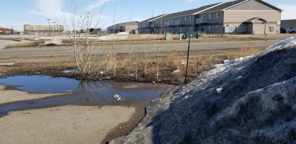
Even with the unseasonably warm temperatures and accelerated snow melt, rivers in the state remain covered in thick ice. Thus far there has been little runoff from melting snow. The reason why centers on dry and warm soils.
“I don’t know if we’ve ever seen them this warm and this dry in concert,” said Schlag. “So far, we’re just not seeing a lot of runoff anywhere.”
River gauges all across the state, including the Souris and Des Lacs Rivers in the Minot region, are still recording “ice” cover with little to no change in flow despite the accelerated melt. However, it takes several hours, even days, for runoff to reach some river basins.
“That melt water has to break through blocked culverts, ditches and the like,” explained Schlag. “You’ll eventually see a rise in those rivers.”
The latest Flood Potential Forecasts for the Souris and Des Lacs Rivers show little chance of any flooding expected this year.
In the southwest part of the state snow is already gone, with temperatures there expected to surpass 70 degrees today and even warmer Tuesday. Elsewhere in the state it will be unusually warm too, with the warmest temperatures occurring in areas with little or no snow remaining on the ground.
“If we didn’t have any snowpack, we’d probably be in the 80’s statewide,” said Hamilton. “Snowpack has quite a bit of effect on temperatures.”
The warm-up comes on the heels of some of longest stretches of cold weather in North Dakota history. Dickinson broke a run of 154 consecutive days with the temperature under 50 degrees, longest in that city’s history. Bismarck and Jamestown went 157 days without seeing 50 degrees, both the third longest on record for those locations.
Minot dipped under 50 degrees on November 26, 2022, and didn’t get above 50 degrees until April 8, 2023. The 134 day stretch ranks 17th in the city’s history.