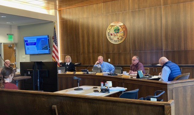

MINOT — The Ward County Commissioners approved new technology for a snowplow and mower map.
Dana Larsen, the highway engineer, described the map as a public showing of where the highway department has mowed and plowed and how long ago it happened.
“During bad winters, we get a lot of phone calls asking, ‘Has this road been plowed yet,’” said Larsen. “Normally how we’ve done that before is a lot of times the guys will call in, as they make progress. A lot of times we’d get up to 100 calls asking what the condition of the roads is.”
Because the data could be made available to those who called, Larsen said it should be available for the public.
“Basically, we’d put a unit in the truck that would transmit where we were at the time,” Larsen explained. “Say we’ve got three different colors. So if we’ve been there in the last, maybe, hour or two, in might be blue. If we’ve been there maybe 4 or 5 hours ago it’d be a different color. If we haven’t been there in maybe 8 hours, it’d be more of a red color. So if it’s been blowing 40 miles an hour it may not be open.”
The colors would be able to change what amount of time each one represents, i.e., the color that represents dangerous roads could be shown sooner or later depending on the weather.
Larsen said the same would apply to mowing season.
“If farmers want to kind of know where we’re mowing, they can see the progress,” said Larsen.
The initial cost for the technology, according to Larsen, would be around $10,000. The annual cost would be around $300-$400 for maintenance of the server, and $2,000-$3,000 for the data that would be transmitted out of the equipment.
According to Larsen, Minot has a unit, but it only tells where the plow has been.
“You can see where it’s at, but you don’t really know what they’ve covered,” said Larsen. “The DOT, their map kind of says what they think the roads condition is, and they have a lot of technology built into their system. They have all kinds of sensors in the road, they have full time staff that are maintaining that. They also have where the plow is currently, but it doesn’t say where they’ve plowed.”
Larsen said Ward County is looking for a more affordable method than that of the Department of Transportation.
“[Other counties] may be doing this, but I wasn’t able to find it on their websites very easily,” Larsen told the commissioners.
Commissioner Shelly Weppler’s shared some concerns people may have, “I’d like to make sure that [the map] is headlined correctly, so people know that this is tracking, and that it’s based on plows having gone through, and you need to decide whether the wind has blown for the last five hours. When I look at this now, it makes me think of the North Dakota map, thinking ‘Oh, it’s good to go.’”
“We can make sure the labeling is such,” Larsen responded.
“I’m just wondering if this technology starts out expensive and gets cheaper over time,” Commissioner Howard Anderson asked. “I can see where it has advantages.”
“If you guys decide to do this for two years, then we could end it,” Larsen responded. “Then you’d be out that upfront cost, but once you stopped it you wouldn’t have that monthly cost.”
Despite concerns, the commissioners unanimously approved the map.