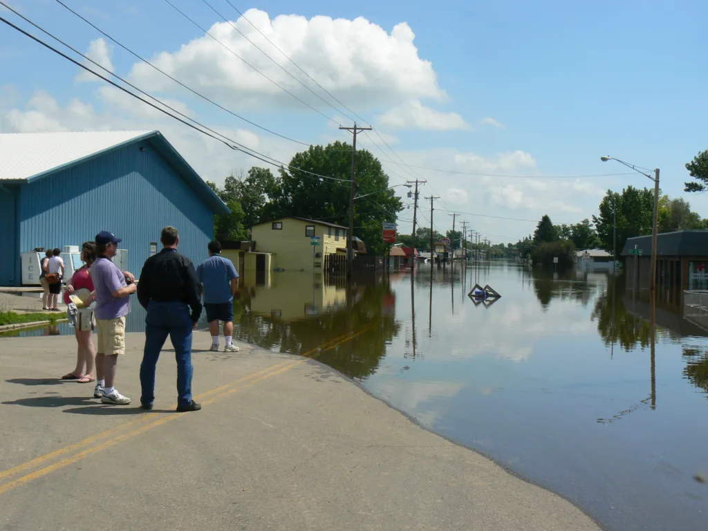

BISMARCK – Despite recent March snowfall, the latest Spring Flood and Water Resources Outlook issued by the National Weather Service says the Souris River is not likely to cause any major problems this spring.
The highest flood in the river’s history occurred in 2011, but current conditions are much different, having increased only slightly since the last runoff outlook issued March 9.
The NWS says runoff into the Souris River this spring can be split into two distinct areas.
“The first begins where the Souris River comes across the border with Canada near Sherwood and extends on down through Minot on over to Velva,” reads the outlook. “In this stretch of the Souris River, flood risks are near normal for this time of year. This is largely due to the snowpack and its associated Snow-Water Equivalent (SWE), which tends to decrease the farther north and west one looks from Minot. This near normal risk of flooding includes the Des Lacs watershed.”
It adds, “Starting at roughly Velva and going downstream through Towner and on up to Westhope, the snowpack and SWE are above normal. This area of above normal snowpack is responsible for the near normal to above normal risk of flooding. This area also includes the Wintering River and Willow Creek watersheds.”
While the flood risk this year remains quite low, there are some factors for river watchers to consider. The prolonged stretch of colder than normal weather “increases the risk of experiencing rainfall on a melting snowpack, which can greatly increase runoff” and, notes the outlook, ice jams that can cause flooding “defy mathematical prediction.”
A major factor affecting the current runoff outlook is “exceptionally dry and warmer” soil undernearth the snowpack.
“These warm and dry soils are expected to allow infiltration of a much larger than normal fraction of meltwater generated and rainfall received during the critical spring melt season,” concludes the outlook.
Reservoirs on the Souris Basin above Minot are expected to easily receive spring snowmelt, particularly given the current conditions.
“The headwaters of the Souris River Basin in Saskatchewan received much less new moisture and is now somewhat above normal near the international border, and somewhat below normal to near normal in the areas above Grant Devine and Rafferty dams in Saskatchewan.”
Probabilities for minor...moderate and major flooding...
Valid Period:
Valid Period: 03/27/2023 - 06/25/2023
: Current and Historical
: Chances of Exceeding
: Flood Categories
: as a Percentage (%)
Categorical :
Flood Stages (FT) : Minor Moderate Major
Location Minor Mod Major : CS HS CS HS CS HS
-------- ----- ----- ----- : --- --- --- --- --- ---
:Des Lacs
Foxholm 1651.0 1653.0 1654.0 : <5 <5 <5 <5 <5 <5
:Souris
Sherwood 1623.0 1625.0 1630.0 : <5 12 <5 5 <5 <5
Foxholm 1573.0 1576.0 1578.0 : 30 37 8 16 <5 <5
Minot 1562.0 1565.0 1570.0 : 15 16 6 6 <5 <5
Minot 1551.0 1553.0 1557.0 : <5 <5 <5 <5 <5 <5
Logan 1536.0 1538.0 1540.0 : 22 19 <5 <5 <5 <5
Sawyer 1524.0 1526.0 1528.0 : 6 7 <5 <5 <5 <5
Velva 1507.0 1512.0 1517.0 : 19 17 <5 <5 <5 <5
:Wintering
Karlsruhe 1509.0 1511.0 1512.0 : 56 16 <5 <5 <5 <5
:Souris
Towner 1454.0 1456.0 1458.0 : >95 62 62 26 <5 <5
Bantry 1440.0 1441.0 1443.0 : >95 62 >95 41 8 8
:Willow Creek
Willow City 1442.0 1446.0 1448.0 : 54 48 6 20 <5 <5
:Souris
Westhope 1414.0 1418.0 1420.0 : 45 52 9 22 <5 17
Legend
CS = Conditional Simulation (Current Outlook)
HS = Historical Simulation
FT = Feet
These long-range probabilistic outlooks contain forecast values that
are calculated using multiple season scenarios from 30 or more years
of climatological data...including current conditions of the
river...soil moisture...snow cover and 30 to 90 day long-range
outlooks of temperature and precipitation. By providing a range
of probabilities...the level of risk associated with long-range
planning decisions can be determined. These probabilistic
forecasts are part of the National Weather Service`s Advanced
Hydrologic Prediction Service.
Visit our web site weather.gov/bis for more weather and water
information.
The next outlook will be issued by the end of April.