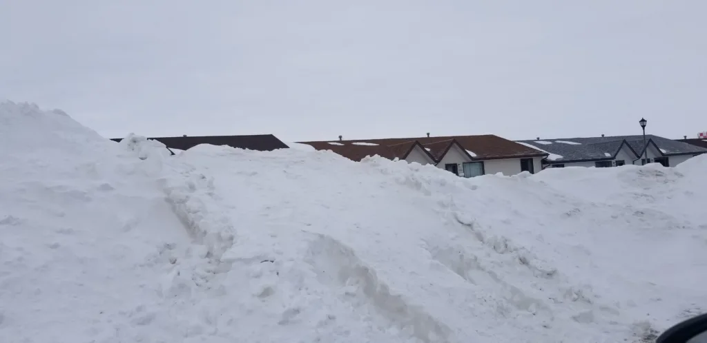

BISMARCK – The recent dump of a foot or more of snow in the Minot region doesn’t substantially increase the risk of flooding along the Souris River, especially in Minot and above the city.
Current runoff forecasts show very little risk of the Souris River rising above flood stage with the exception of points downstream of Minot.
“Towner to Bantry is going to go above flood stage. That’s a given,” said Allen Schlag, NWS hydrologist in Bismarck.
Historically, spring flooding occurs frequently in that stretch of the Souris River, usually causing minimal problems. With the increased snowpack of recent weeks, it raises the question of the extent of impact on the melt.
“You guys have more snow in the Minot area,” said Schlag. “Once you get to the Canadian border the snowpack starts falling pretty quickly. There just isn’t that much water up there.”
Canadian reservoirs on the Souris are at or below their preferred operating levels, meaning there is ample storage at this time of year to handle any anticipated runoff. Of growing concern is continued cold weather that could lead to a later, and faster, than usual spring melt.
“That is a little disconcerting because, with each day that goes by, we are one step closer to swinging that weather pendulum,” said Schlag. “Historically speaking, we don’t ever seem to be average around here. We go from one extreme to the other, and right now the extreme has been below-normal temperatures.”
The next runoff outlook for the Souris River basin is expected to be released Thursday, March 23.