
RIVERDALE – A looming low water crisis for Lake Sakakawea is no more, thanks to heavy rainfall that quickly drained into the Yellowstone River in Montana. That flowage swelled to record high levels, causing significant damage along its route.
However, the river that flows unchecked into the upper end of Lake Sakakawea grows deeper and wider as it works its way east, meaning North Dakota was spared excessive flooding from the Yellowstone. It did though, add a significant amount of water to Lake Sakakawea where low water had already caused the closure of some boat ramps.
The high flows from the Yellowstone boosted formerly dismal water level predictions by six feet, a very welcome happening for water enthusiasts all along the state’s largest body of water. An example can be found at DeTrobriand Marina at Fort Stevenson State Park. The water level there was so low that no boats were moored in the marina. The boost from the Yellowstone opened it for business once again.
Lake Sakakawea reached a level of just over 1,837 feet Friday. Spillway overflow is 1,854 feet. Projections are that the reservoir will peak slightly over 1,838 feet about mid-July before beginning a very slow decline. At 1,838 feet there are very few locations on Sakakawea where boat ramp availability is an issue.
Improved water conditions remain somewhat of an illusion in terms of conditions throughout the Missouri Basin system. Total runoff this year, according to the U.S. Army Corps of Engineers, is forecast at 20.0-million-acre feet of water. That compares to a historic average of 25.7 maf. Sakakawea’s share of the 2022 runoff is expected to be 86% of normal.
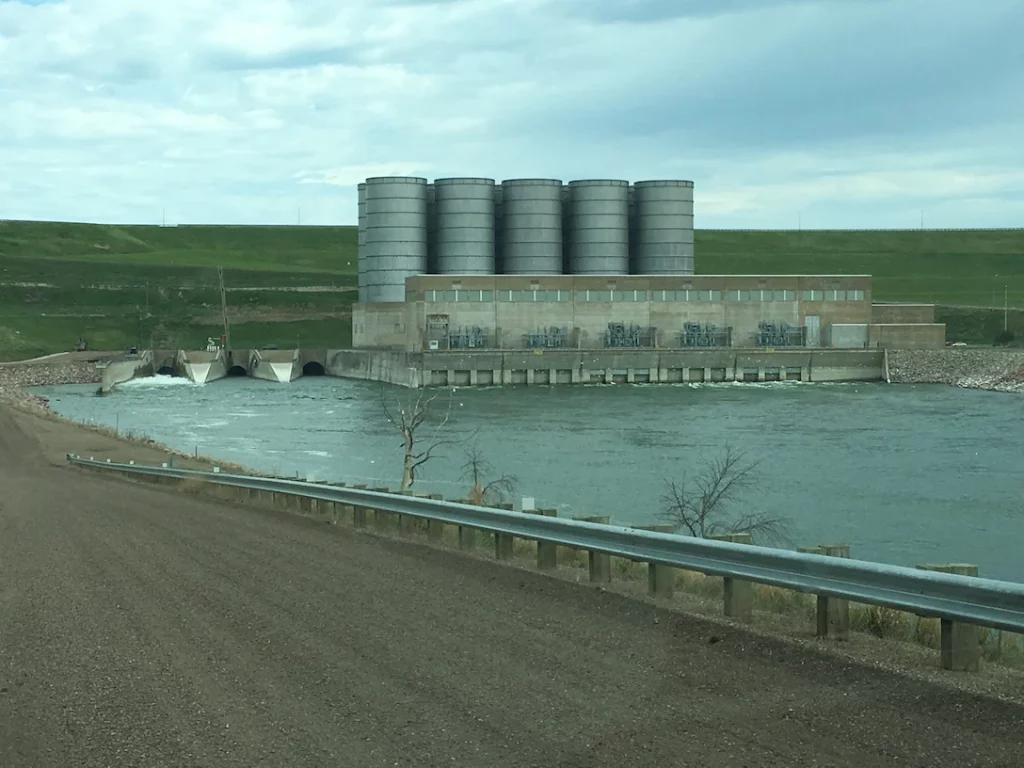
The average release rate through Garrison Dam in June was 19,800 cubic feet per second. That water is used to power turbines that generate electricity at the Garrison Dam Power Plant. Releases for July and August are expected to be maintained at 21,000 cfs.
Sakakawea is forecast to end this year at 1,831.9 feet, and then be lowered to 1,827.9 feet at the end of February 2023 in anticipation of a spring rise due to melting snow and rainfall.