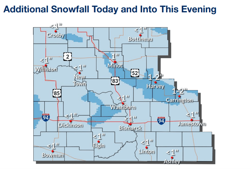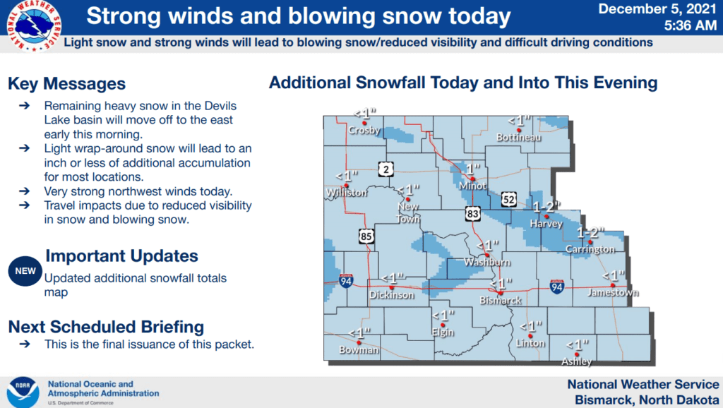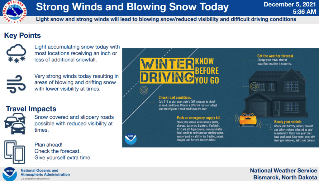

**UPDATE, 9:13 a.m., Dec. 5 - The biggest hazard today is strong winds accompanied by blowing snow. Travel will be affected due to reduced visibility. See below for the most recent forecast graphics.
**UPDATE, 9:40 p.m., Dec. 4 - A band of light to moderate snow is moving from northwest into south central and southeast North Dakota this evening and overnight. Most of northern North Dakota can still expect to receive six to eight inches of snow with this storm. See below for the most recent forecast graphics.
**UPDATE, 9:02 a.m., Dec. 4 - The National Weather Service (NWS) has issued a Winter Storm Warning in effect from 3:00 p.m. Saturday, Dec. 4, through 6:00 p.m. Sunday. The entirety of northern North Dakota is included in the warning area. Four to eight inches of accumulated snow is expected across the warning area, and winds are expected to gust as high as 45 m.p.h. See the most recent forecast graphics below.
For more details, see the official warning message and the Bismarck NWS.
**UPDATED at 5 p.m., Dec. 3, with the latest forecast graphics.
The National Weather Service has issued a Winter Storm Watch across most of northern North Dakota, valid from Saturday afternoon, Dec. 4, through Sunday afternoon, Dec. 5. See graphics below for the most updated forecast details on expected snow amounts, timing and locations of the heaviest snow, and tips for driving in wintry conditions.

