That it has been cold the last several days is an understatement, even by North Dakota standards. According to the National Weather Service, four major cities in the states posted unusually cold daytime high temperatures on Thursday.
Minot’s daytime high Thursday was minus 12 degrees, tied for the sixth coldest high since 2000. Williston’s daytime high Thursday was minus 16, Jamestown minus 15, and Bismarck minus 11. That ignominious mark hadn’t been reached in the Capitol City since December 2017. Toss in wind chills, blowing snow, and some of the shortest days of sunlight all season and it makes for a quite challenging environment.
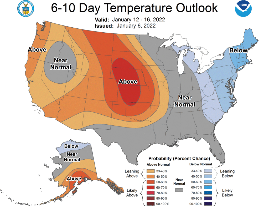
There is some relief ahead, says the NWS. The 6-10 day forecast calls for above-normal temperatures. As early as next week the Minot region can expect to see daytime high temperatures top the freezing mark Tuesday-Thursday with a possible peak in the upper 30s on Wednesday.
After that temperatures are expected to return to a more normal pattern. Although conditions could change, currently there is no indication to a return of a lengthy stretch of sub-zero temperatures for the remainder of the month.
La Nina is still influencing our winter weather and is expected to do so into the spring. La Nina is a cooling of Pacific Ocean water that usually translates into colder than normal temperatures across the northern U.S.