Residents weary of possible inclusion in floodplain maps, and the increased flood insurance premiums that come with such inclusion, have been granted at least a temporary reprieve.
At Monday night’s City Council meeting Lance Meyer, city engineer, revealed that the Federal Emergency Management Agency has agreed to re-evaluate its previously issued flood plain maps. The City of Minot had appealed to FEMA to do so.
“The important thing is that it gives our residents a little more time before they will see a risk rating,” said Derek Hackett, public information officer. “We are still encouraging a lot of residents to get flood insurance before the risk map changes and increases their liability payments.”
Minot Mayor Shaun Sipma said, “We are very satisfied that FEMA is reconsidering their previous work and will be considering the accurate operational rules of all the reservoirs on the system above Minot.”
"The important thing is that it gives our residents a little more time before they will see a risk rating. We are still encouraging a lot of residents to get flood insurance before the risk map changes and increases their liability payments."Derek Hackett, Public Information Officer, City of Minot
The City of Minot had filed an appeal with FEMA in late 2020, citing concern about FEMA’s assumptions used in analysis related to operation of flood control reservoirs on the Souris River drainage. A week ago Minot officials met with representatives from FEMA and the North Dakota Department of Water resources regarding the Flood Insurance Study for Ward County.
“They think our data is sound, so they are going to review their data,” explained Hackett. “They look at maps, flows, elevation changes and interpret it. They look at it differently than we would, and FEMA said there’s some merit to our opinion.”
The period of re-evaluation pushes the release of revised preliminary floodplain maps into the summer of 2023. Minot could issue another appeal later that same year. Should that happen, says FEMA, the earliest new maps would become effective is the fall of 2024. At that time flood insurance rates would increase.
"FEMA said there's some merit to our opinion."Hackett
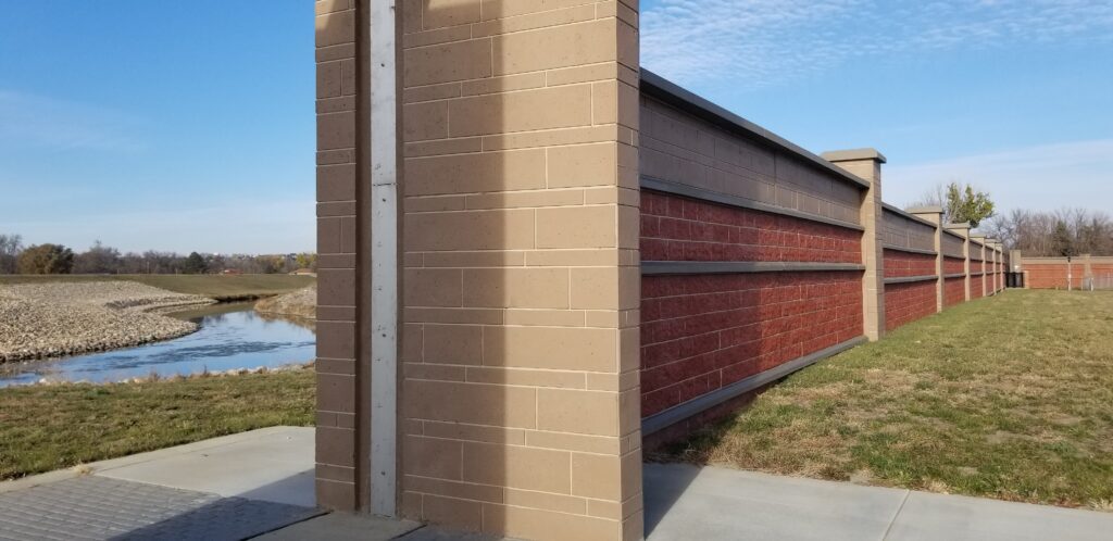
However, says Hackett, the delay in determining a final floodplain map means Minot’s flood control project will continue to advance, a project which will have a favorable impact for city residents, particularly those in the flood plain.
“It is inevitable that the risk maps will change. How much, the impact, and how soon all depends on getting flood control done,” said Hackett. “It now will be least until 2024 for the FEMA maps, which is substantial.”
Hackett noted that flood control stages 1, 2 & 3 have been completed or very nearly complete, and that stages 4 & 5 are getting underway. There are eight flood control stages in the current flood control design for Minot.
“It’s really about the financial burden of the residents in the valley,” remarked Hackett. “We urge them to get flood insurance before these maps get active.”